Sunday, January 31, 2010

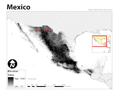
Module 3: Deliverable 3 (Mexico Elevations)


The Mexico elevations raster map was intended to portray the elevation of the country in a stretched symbology scheme. The black and white color ramp seemed to work best with this kind of map because of the hill shading option which tends to show the mountain relief better.

Module 3: Deliverable 2 (Central Mexico)


This map was a little more difficult than the first one. I had a tough time getting the world populations layer to be labeled in annotation. The advanced labeling option is somewhat confusing. The inset was confusing at first but became straight forward after completed.

Saturday, January 30, 2010

Module 3: Deliverables


This is the population density map produced for week 3 lab assignment: GIS and Cartography. I found the difficulty for this map in creating the layout and getting it to look the way I wanted. A lot of things have changed since ArcView 3.0.

Tuesday, January 19, 2010

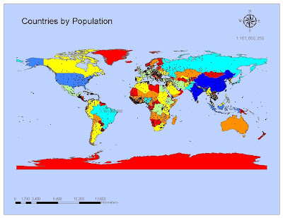
Module 2: Deliverable 1 (Countries by Population)


The toughest part of the assignment was finding out which scale text to use for some reason. Overall, after you have the layers already designed, using ArcMap is not that hard, yet!