http://students.uwf.edu/bos1/Final_Project_Summary.pdf
http://students.uwf.edu/bos1/finalproject_presentation.pdf
Tuesday, April 27, 2010
Friday, April 9, 2010
Wednesday, April 7, 2010
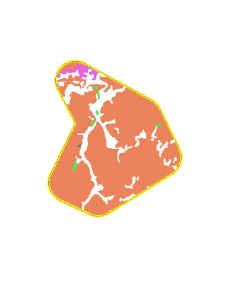
Week 11: Reclassify Data to a Common Scale

This is the final output for the vegetation rank map within the specified output. This exercise happened to be the quickest if not the least difficult one of the Module assigned. I chose not to fancy it up because I did not have all of the information necessary even though I could have made some assumptions to the north arrow and scale.
Week 11: Spatial Analyst Map 1

This was a very time consuming module all together and I originally had the model parameters correct and ran just fine but did not realize I had to show the model as my deliverable so when I reopened the mxd. file and tried to find the model, it was gone. On my second attempt to rerun the modelbuilder tool I kept getting an error for incorrect parameters. The original one had the drop shadows and worked just fine, but here is the snapshot requested.
Week 11: Customizing Labels
Week 11: Managing Labels with Class
Subscribe to:
Comments (Atom)


