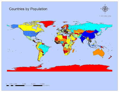
The toughest part of the assignment was finding out which scale text to use for some reason. Overall, after you have the layers already designed, using ArcMap is not that hard, yet!
This is my personal blog for class 4048 Applications to GIS for the Summer 2010 semester at the University of West Florida. It also includes my Intro to GIS progress from Spring semester. Enjoy!!
Hi Brian,
ReplyDeleteGood job. My only suggestion would be to always check for "outlyers" before posting. I noticed a scale text in Brazil. Overall, nice color scheme!
Yet--haha!
Leah