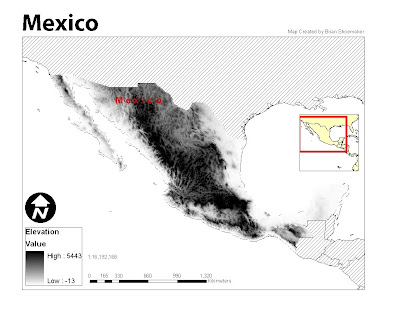
The Mexico elevations raster map was intended to portray the elevation of the country in a stretched symbology scheme. The black and white color ramp seemed to work best with this kind of map because of the hill shading option which tends to show the mountain relief better.
No comments:
Post a Comment